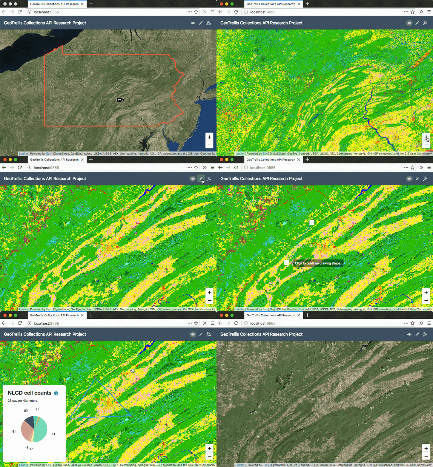
To show the appropriate detail at a certain zoom level while conserving bandwidth, images of large geographic areas are tiled to optimize delivery. In a zoomed out state, we may need only a single image to show the entire area, albeit at a very coarse resolution. In a zoomed in state, a small area should be shown in much more detail. Each zoom level has 4 times the tiles of the previous one, with Zoom Level 0 starting with exactly 1 tile. The size of each tile in the scheme is identical, most often 256px square on the web.
This blog post presents a tutorial for generating pyramided map tiles (also called Slippy Map tiles) from a GeoTIFF using GeoTrellis, which can be used in Leaflet or OpenLayers. Read the full article on the Azavea blog here.
Also see this alternative which uses GDAL.